The Ascender story: ‘Digital Delta’, November 2013
A story for the debut issue of online magazine The Ascender. Excerpt below; click the image to read the full story.
Two men from different fields are teaming up to create the future of mapping in one of most biologically diverse wildernesses on Earth.
Deep in the heart of the remote African wilderness, ten men laboriously drag canoes across the high grass of a dry floodplain. Living representations of the idiom ‘fish out of water’, their companions include wild hippopotamuses, crocodiles, birds and elephants unused to seeing humans in their midst this time of year. To make the scene seem even more out place, inside one of the makoros – a traditional Bayei dug-out canoe – sits a gigantic blue-and-white solar panel, its heft manifested on the strained, sweat-strewn faces of the men as they slowly traverse the rugged terrain.
For three days, the explorers have been confined to land, pushing through the harsh conditions under a scorching sun, burdened by the weight of their equipment that besides the panel includes batteries, computers, cameras and other gear for surviving the trying, 18-day expedition.
If viewed from space, the humans’ circuitous path would look rather random as though this band of travelers had absolutely no idea where they were going. The men climb trees and scramble to the top of termite mounds in an effort to spy a more efficient route and get to the place they’d much rather be: on the water.
What, then, are these men doing here?
This is the annual flood time in the Okavango Delta, one of Africa’s last remaining wetland wildernesses in northern Botswana, and Dr. Steve Boyes and his team of wildlife researchers and local Bayei river bushmen are attempting a world-first: to record wetland bird and wildlife sightings in September, a month for which no data previously exists.
It is ironic then, that this expedition, set against the backdrop of this remote wilderness, is on the cutting edge of location-based innovation and real-time mapping. Boyes and his team are instruments of data transmission, the hefty, solar panel offering the efficient, silent power necessary to conduct their all-important research. Every twenty minutes, the team uses a global positioning system (GPS) to sync their location onto a live map hosted at a dedicated website, IntoTheOkavango.org with evenings spent packaging the days’ captured data using watches and tablet computers – bird and wildlife sightings, photographs, text messages, body temperatures, and their heart rates – and transmitting the precious digital cargo by satellite to a team located on the U.S. east coast.
“The whole point of the Into The Okavango campaign is to inspire,” says Boyes. “Our research is obviously the primary task out there; first we backed up and uploaded to our server all of the research data, but right after that came the campaign stuff: all of the sharing, tweeting and blogging. We were on a research expedition, but we’ll stay up later and push ourselves harder to be able to share that experience. There are certain sacrifices in this world if you really want to inspire people to be different.”
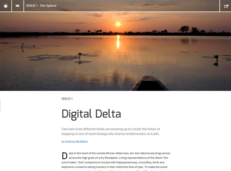
To read the full story, visit The Ascender. The above image is titled ‘Sunset on the Hippo Pool‘, by Lawrence Murray.